Politics & Government
More Light Shed on 2nd + PCH Proposal's Traffic
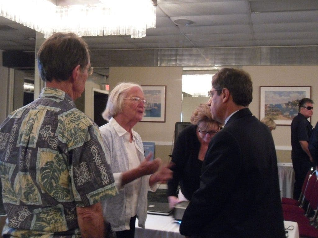
Independent Traffic Consultant Fred Minagar gave an informative presentation on his study of traffic impacts.


In countless debates surrounding the proposed 2nd and PCH development, increased traffic is a major concern--and hurdle--for the project. To supplement previous traffic analysis conducted for the DEIR, independent traffic consultant Fred Minagar of Minagar & Associates, Inc. was hired by the Los Cerritos Wetlands Land Trust to conduct his own analysis, and he was invited to present his findings Tuesday night at a meeting hosted by the group.
"Because at Council meetings and during presentations by the developers, I know a lot of us feel like we're just given a lot of pictures and diagrams and 'We'll figure it out later' answers. We are here to bring the community real information," said Elizabeth Lambe, Executive Director of the Land Trust, introducing the speaker.
The Wetlands Land Trust are outspoken opponents of the development plan. The Trust, a non-profit organization that for ten years has been dedicated to saving and restoring the Los Cerritos Wetlands, cites traffic increases, environmental impacts and damage to the wetlands, lack of forethought and mitigation, massiveness and failure to meet zoning laws as some of its concerns.
Find out what's happening in Belmont Shore-Napleswith free, real-time updates from Patch.
Perhaps as a sign of his independence, Minagar refuted the "ten-fold" increase in traffic as written in the Los Cerritos Wetlands handout. But he did conclude that the RDEIR needs more fine-tuning and adjustment. In particular, specifics on exactly how traffic impacts will be mitigated are missing from the draft EIR, he said later.
Stressing his company's objective analysis, Minagar found 64 items of concern with the DEIR, some big, some small and some cosmetic. Nonetheless, these 64 items have been submitted as a report to the Planning Commission to review along with the current DEIR.
Find out what's happening in Belmont Shore-Napleswith free, real-time updates from Patch.
"Any project will generate traffic," Minagar noted, "even the smallest one."
However, he did pinpoint four intersections that would experience significant levels of traffic increase in the near future, and six that would be affected by 2015. (The DEIR first identified five intersections that would be impacted, then reduced the number in the RDEIR to two.) Minagar analyzed 25 intersections (as in the DEIR) for impact because, as Minagar said, explaining the increase in traffic like a bucket overflowing with water, "the traffic has got to go somewhere, but you don't always know where."
Because of the West County Connectors Project and frequent freeway closures began only this year, Minagar said the study they just conducted in 2011 has a different foundation than the study conducted by the City Engineer in 2009, therefore they were "not comparing apples with apples." He also said, during an interview, that 2nd and PCH just happened to be the focal point of a phenomenon similar to what's happening in the midwest right now. Because of location, construction, development, tourism and everyday travel, it's right in the middle of what he called "a traffic tornado."
Minagar, a former Planning Commissioner in Laguna Beach and a consultant for projects like the Staples Center, stressed understanding the legality of any potential development project, no matter which side you are on. Each city has certain standards about building, and these are not debatable. What is debatable are the methods of collecting data, implementation and projections.
The main points already relayed by City Traffic engineers are that wait time will be increased at 2nd and PCH, but changes to stoplight mechanisms, widening of the street, shuttle and transit programs and other street improvements will actually offset traffic impacts to make traffic flow virtually the same, or possibly even better than it did before. City Traffic Engineer David Roseman had stated at the last Planning Commission study session that the 2nd and PCH proposal "basically adds more capacity to the intersection than this project adds cars to it."
Lambe asked whether the developer's claim that traffic will not be negatively affected but actually improved has any legitimacy to it. Roseman had stated at the last Planning Commission study session that the 2nd and PCH proposal "basically adds more capacity to the intersection than this project adds cars to it."
Minagar, though not expressly disagreeing with this claim, said at one point during the presentation, "Adding more capacity to an area will invite more in to take it."
The main points that Minagar explained were these:
- Retail, along with fast food, generates the highest volume of traffic (a point also made by the City Engineer) and the majority of the project (191,475 square feet) will be retail stores.
- Lower end restaurants generate more traffic than the upper crust, and the 21,092 square foot restaurant has not been decided yet. * Homes do not generate a significant amount of traffic (there are 325 proposed residential condos) and hotel traffic levels vary with location.
- Mixed-use developments, as this one is, are generally good for both economic gain and for relatively low traffic generation, since the traffic generated by retail stores is offset by low-trip residences.
- The amount of traffic cannot be fully assessed, since the types of retail stores, restaurant, hotel and condos have not yet been decided, and different levels of chic-ness change the traffic equation. For example, Nordstrom's traffic is lower than Walmart's. "It's a bad time in the economy," Minaga said, "so it makes sense, whoever will take it is not yet known." However, he reported, once the project is approved as it is, there is really no looking back to change the type of store, unless there is a major violation.
- The one per cent growth projection, compounded annually, as reported in the DEIR, is an acceptable rate. As mandated by the City, traffic must not be significant enough to exceed a 2 per cent increase in delay, roughly equivalent to 2 seconds per vehicle per light. (At a previous Planning Commission study session, Roseman said by his calculations, the average delay at the intersection of 2nd and PCH is calculated to be 40-45 seconds. On average, the proposed development plan would increase this wait by about 15 seconds, or roughly between 5% and 12% for various peak hours.)
- Detailed mitigation plans are virtually missing from the RDEIR. (From the secondandpch.com website: since the first DEIR, "the developer has committed to additional mitigation measures for construction and operational impacts; including, but not limited to: (a) new construction traffic management plan; (b) more intersection improvements; (c) a shuttle service along 2nd Street; and (d) a new transportation demand management plan...".)
- Widening lanes in a seaside area near oceans and already developed land could be problematic because there is not much room to grow, Minagar said, drawing comparisons to the stretches of land open for use in places like Riverside.
- The number of vehicles reported as an increase in traffic must be considered a raw number and not absolute. For example, at 2nd and PCH, where traffic impacts would be greatest, vehicular trips are expected to increase by 226 vehicles per hour, but these vehicles are understood to be distributed around the area and also reduced by pedestrian, bicycle and public transit figures.
- The four intersections that would experience significant impact are:
1. PCH at 7th, during P.M. hours
2. Bayshore and 2nd St., during P.M. hours and midday Saturday
3. PCH at 2nd St., during A.M. and P.M. hours and midday Saturday
4. Studebaker and 2nd St., during A.M. and P.M. hours and midday Saturday
Myriad issues arose from the audience during the question and answer session, including:
- whether the bridges leading onto Naples Island were included in the original report as limited access points for residents (they were not)
- whether studies of traffic levels on Sundays when there is a Farmer's Market at the Marina were conducted in the original report (studies were not conducted on Sundays)
- whether pedestrians were considered as an impediment to traffic (they were not included as significant because there are not more than one hundred pedestrians crossing these intersections per hour)
- whether a shuttle to mitigate traffic for residents was feasible (Minaga said, "a shuttle is extremely debatable," and "it is up to the Planning Commission to impose conditions on the project that would require traffic mitigation.")
The next steps are in the hands of the Planning Commission, to either approve the project as it is, accept the proposal and impose conditions, require further review and analysis or request the developer to downsize or change the land use.
Minagar summed it up nicely when he said, "With every growth comes pain, and in this case, it's traffic pain."
To read Minagar's traffic review, open this PDF.
View the RDEIR here.
Visit the Los Cerritos Wetlands Land Trust website here, or the Second and PCH website here.