Community Corner
Rain Headed to the Area
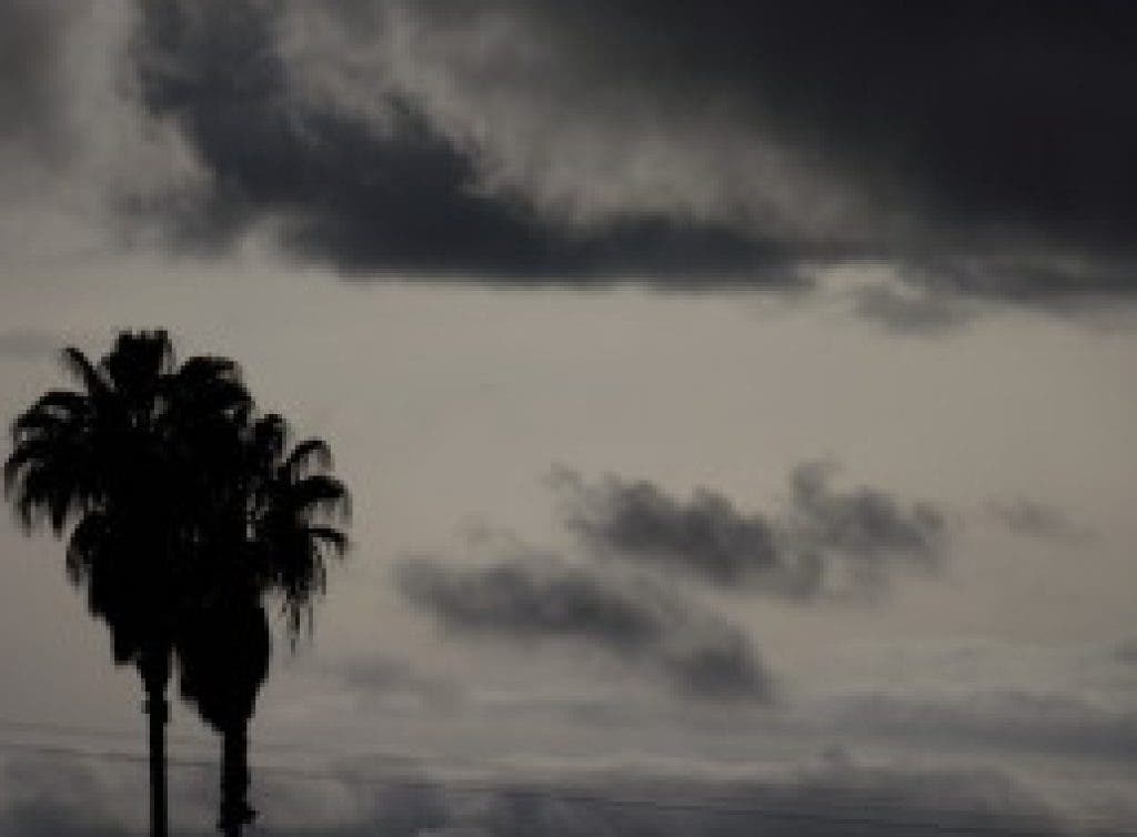
Most of the precipitation is expected after midnight tonight.
Two cold fronts are expected to produce light rain or drizzle around Los Angeles overnight and Friday, and up to a foot of snow could fall at elevations of 6,000 feet or more, according to the National Weather Service.
The bulk of the cold front responsible for today's unsettled weather should pass north of Los Angeles, though the unsettled weather could produce light rain here through early Thursday.
Today's highs should be in the upper 50s and low 60s. After midnight, a 20 percent chance of rain is forecast.
Rainfall amounts tomorrow, which are forecast to range from a quarter-inch to a half-inch around Los Angeles, are likely to be lower in Orange County and points south.
Another low-pressure system, which could be slightly colder than Wednesday's, is forecast to arrive late Thursday or early Friday, producing showers across Southern California and up to 6 inches of snow at elevations of more than about 3,500 feet.
Metro-area temperatures are forecast to dip into the upper 30s early Friday. Highs should be in the 50s.
Forecasters said there was a slight chance Friday's storm could produce thunderstorms or hail, and snow could affect the Grapevine section of Interstate 5 north of Los Angeles, as well as the Antelope Valley (14) Freeway and other high-elevation roads.
The two storms could produce up about a foot of snow at ski resorts.
Saturday should be partly cloudy, then clear and cool the rest of the weekend.